New Zealand: Tongariro Alpine Crossing
So the plan for Thursday was to hike the Tongariro Alpine Crossing, a mere 19.6 km long hike. We got up early in the morning and caught the shuttle to the Mangatepopo carpark which sits at about 1200 m above sealevel. We left the car park at about 8 am with instructions from our bus driver to be at the other end by 4 pm, otherwise they’d be sending search planes out looking for us. With that in mind, we were on our way. The first part of the hike was relatively flat with only slight inclines until we reached Soda Springs, approximately 3 km in to the hike.


(Looking back toward the carpark where we started, you can't even see it in the distance)


From there, we started to climb stairs and switchbacks up the side of Mt. Ngauruhoe until we finally reached the top and found ourselves in the South Crater.


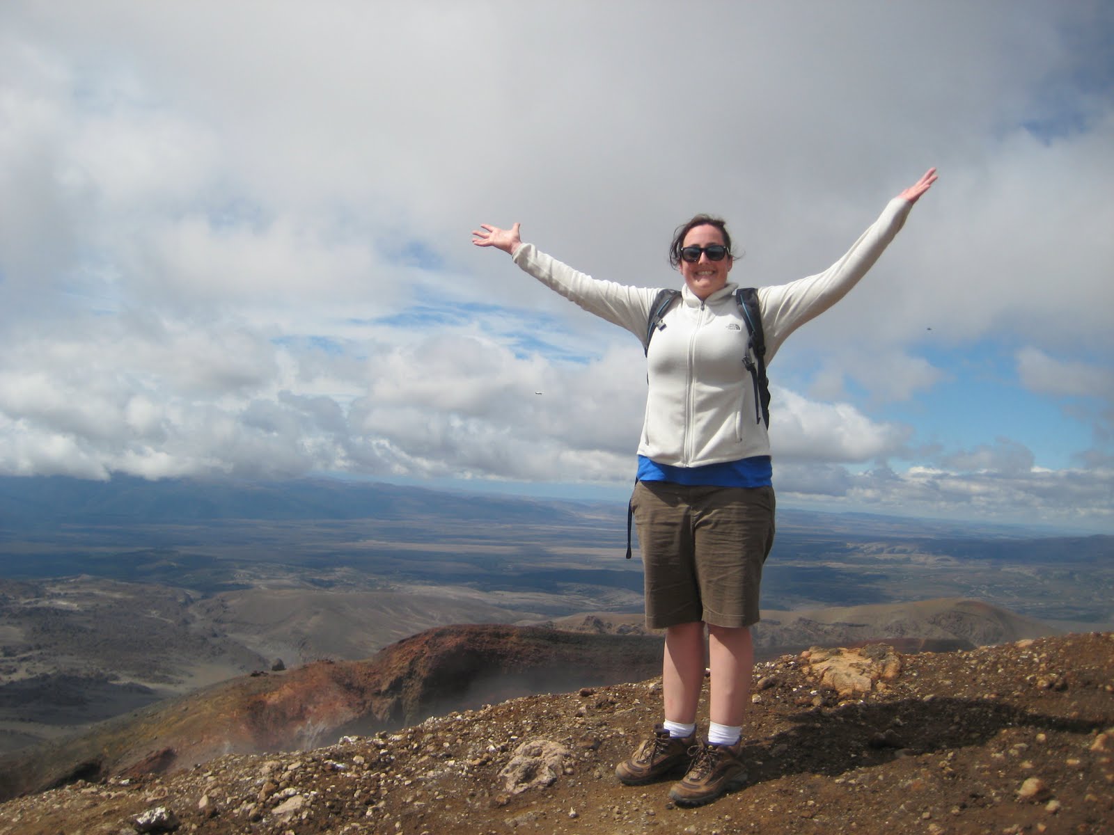
We hiked through the South Crater and then up the side of the Red Crater leading us toward Mt. Tongariro. When we finally reached the top of the Red Crater, we were at an elevation of 1886 m.


From there, we began the downward decent to the Emerald Lakes, which were absolutely breathtaking.


Then we hiked through the Central Crater and up the other side where we reached Te waiwhakaiata-o-te Rangihiroa (Blue Lake).


After more picture taking, we began heading down toward the Ketetahi Hut where we would be able to use the bathrooms and have some water and a snack. On the way to the hut, we had amazing views all the way out to Lake Taupo which we had driven by the day before.


Once we reached the hut, we were told that we had about a two hour hike ahead of us to reach the car park at the end of the trail. Part of the trail out took us by the Ketetahi Springs which are on private Maori tribal lands and as trampers (hikers) we were required to stick strictly to the trail while on those lands.

It seemed like the last part of the trail would never end and while it was beautiful to hike through New Zealand forest and we were grateful to be under the cover of trees and shaded from the New Zealand sun, we were very ready to be done.

We finally reached the end at about 3:20 pm and were able to sit at the Ketetahi car park and relax for a little while before boarding the bus back to our hostel. We had spent a large majority of the hike trying to covert kilometers to miles in our heads to figure out how far 19.6 km actually was. As the Aussies would say, it was a lot of maths for our tired heads by the end of the day. With the computer's help, we later figured out that we had hiked 12.18 miles that day. Amazing!


We took a brief nap when we returned while waiting for the showers to clear out and then cleaned up and headed to the bar next to the hostel. We rewarded ourselves with large burgers done the New Zealand way (with beets and cucumbers on them!) and large pints of NZ cider. Then, because we were so knackered, we hit the sack early because tomorrow was going to be another long and busy day!
Jess and Erin
No comments:
Post a Comment